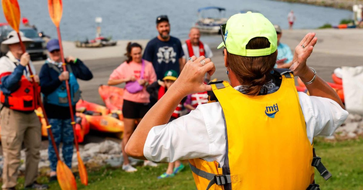
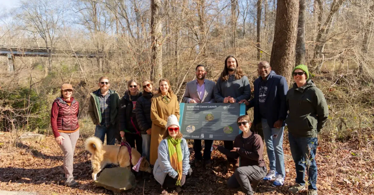
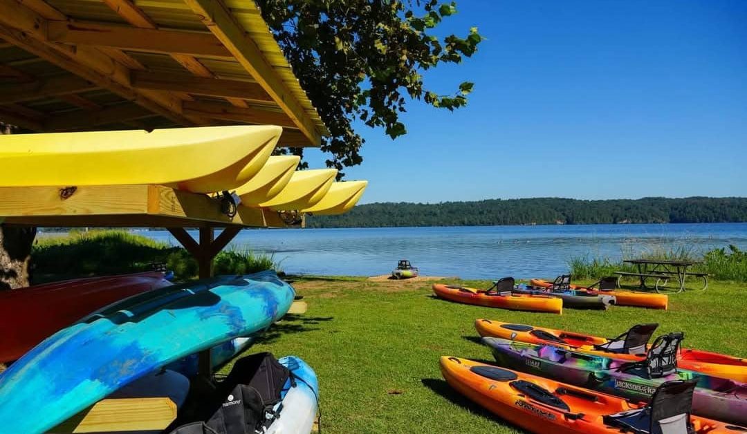
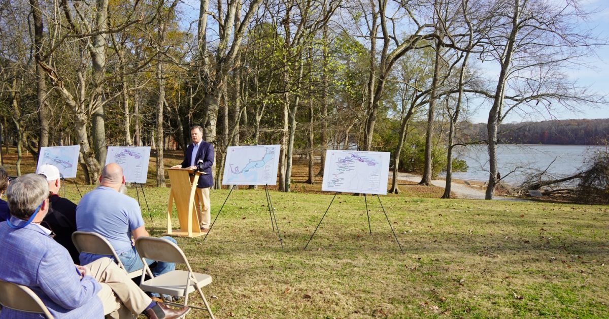
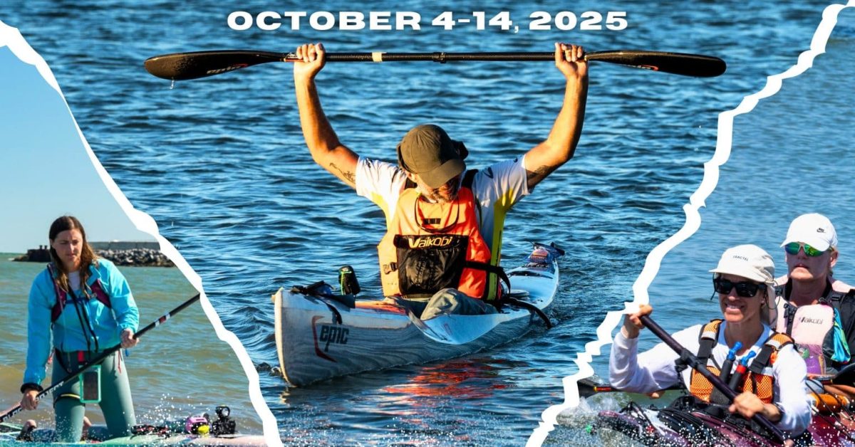
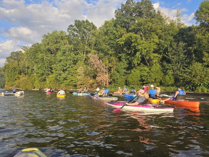
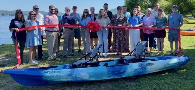
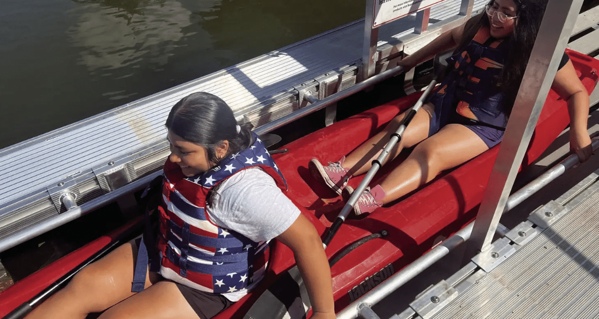
In the NewsStay Current on how ASRT is making a difference!ASRT River News and Updates52 Weekends, 630 Miles: Alabama’s Scenic River Trail is the Longest in the CountryStyle BlueprintMar 2026Along AL’s Scenic River Trail, you’ll bask in pristine, untouched wilderness, float by bustling cities, small towns, and historic landmarks, and see plants and wildlife you won't find anywhere else. Read More Freshwater Land Trust installs new info signs in Irondale public access canoe launchesBham NowMar 2026The partnership was between the Freshwater Land Trust, the Cahaba River Coalition, the City of Irondale and a grant from the Alabama Scenic River Trail’s Waterways Enhancement Program. Read More Alabama Scenic River Trail opens applications for 2026 Waterway Enhancement Program grants256 TodayMar 2026Alabama-based nonprofit organizations working to improve access to the state’s waterways can now apply for funding through the 2026 Waterway Enhancement Program, administered by the Alabama Scenic River Trai Read More North Alabama Trails and Recreation launches $270k effort to improve Flint Creek accessWAFF 48Nov 2025MORGAN CO., Ala. (WAFF) - Flint Creek is already known as a great paddling spot, but there aren’t many places to get in and out of the water. The $270,000 plan will improve five sites along the creek, adding more access points and clearer guidance. Read More 2025 Great Alabama 650 News CovergageAlabama Scenic River TrailOct 2025Check out news coverage from the 2025 Great Alabama 650, ASRT's signature annual event! Read More New kayak launch makes waves at Lake Guntersville State ParkRocket City NowSep 2025Paddles are ready, and adventure awaits at Lake Guntersville State Park, where a brand-new kayak launch officially opened Friday, giving visitors an exciting new way to explore the lake. Read More New kayak launch opens at Lake Guntersville State ParkWHNTSep 2025Visitors to Lake Guntersville State Park now have a new way to get on the water. Read More State Park opens new kayak launchSand Mountain ReporterSep 2025Lake Guntersville State Park kicked off Labor Day weekend with a special ceremony on Friday morning Read More Lake Guntersville State Park launches new kayaksWAFF 48Sep 2025There is a new way to get out on the water in Guntersville! Area leaders cut the ribbon on a brand-new kayak launch on Friday. Read More Lake Guntersville State Park celebrates new kayak launchOutdoor AlabamaSep 2025State and local leaders celebrated the addition of a new kayak launch at Lake Guntersville State Park with a ribbon cutting ceremony on Friday, August 29, 2025. Read More 7 local organizations receive funds through Waterway Enhancement ProgramThe Bama BuzzSep 2025The seven different projects are being awarded a total of $25,000. The ASRT program’s goal is to improve freshwater recreation opportunities, accessibility and safety through Alabama’s waterways. Read More Bear Creek Collaborative gets adaptive kayak dockFranklin County TimesAug 2025 Bear Creek Collaborative has completed a new adaptive kayak dock on Big Bear Creek and is preparing to add specialized equipment with the help of a $5,000 grant from the Alabama Scenic River Trail’s Waterway Enhancement Program. Read More Page 1 Page 2 Page 3 Page 4 Page 5 Next Looking for the Great Alabama 650 Media Coverage? View recent articles, videos, and more on the longest paddle race in the United States. Learn More