Signs of the Scenic Trail
Get Involved in ASRT’s Sign Project
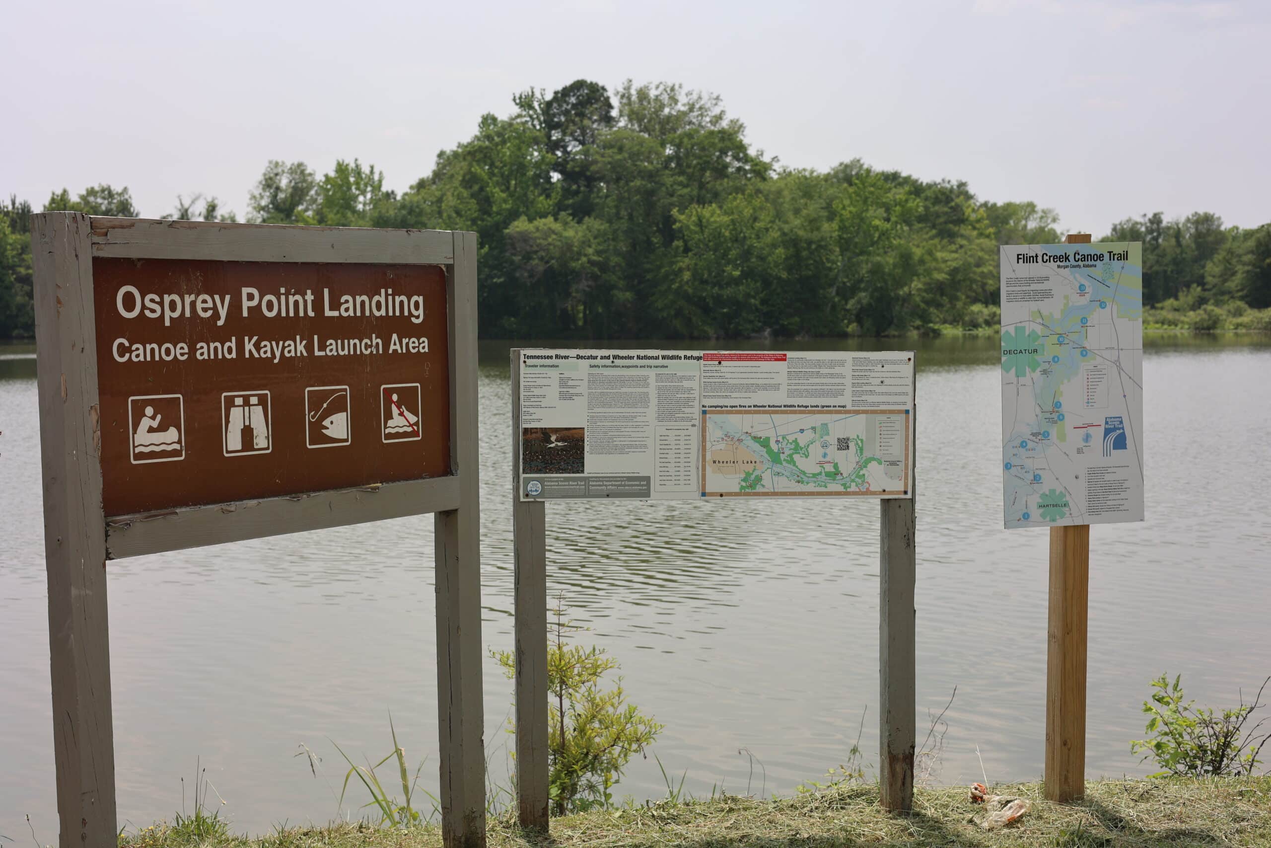
Alabama Scenic River Trail utilized ADECA’s Recreational Trail Program to create and install 230 destination signs across the state. The signs, illustrated by the example below, were placed at all major access points along virtually every major river and creek. Each sign measures 48 x 18 inches and is laminated to an aluminum/plastic substrate. Mounting was usually made on two metal poles. Each sign features local contacts of interest to paddlers; a paddler-centric map of the region (usually 35-50 miles of waterway); a table of waypoints allowing GPS reckoning to the map features; a narrative of the trip correlated to the map features; and safety information. The project took two and a half years and was completed in the Summer of 2017.